Hiking the Colorado River Heritage Greenway

"Roadrunner!"
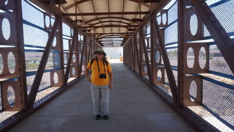
I stood in disbelief as the two-legged, fast as lightning feathered bird made a mad dash in front of me right in front of the decorative pedestrian bridge back to the land of casinos. It caught me by surprise and all I could do was point, forgetting I had a camera around my neck.
John caught up and looked where it went. "See, he's worn a path."
Sure enough, a worn trail crossed this man-made surface we were on, and as my eye followed the winding way through the desert, I could see the roadrunner vanishing into this distance.
Where we live, everything is lush and green. If you see a path crossing your trail, a deer or an alligator created it. But Laughlin, Nevada, is very different than our home in Florida. While both John and I have hiked in deserts before, this was our first time doing so together. And since I have a series of business meetings to attend, I wanted to make the most of the outdoors in my free time.
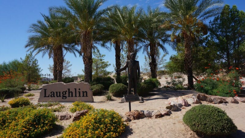
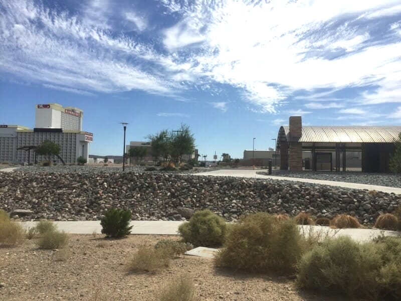
Laughlin is younger than me. It's here, of course, to draw people to casinos built along the Colorado River, facing Arizona. It's in the very southern tip of Nevada, right near California too. Behind the line of casinos we found the Laughlin Riverwalk, and that's where our fun began.
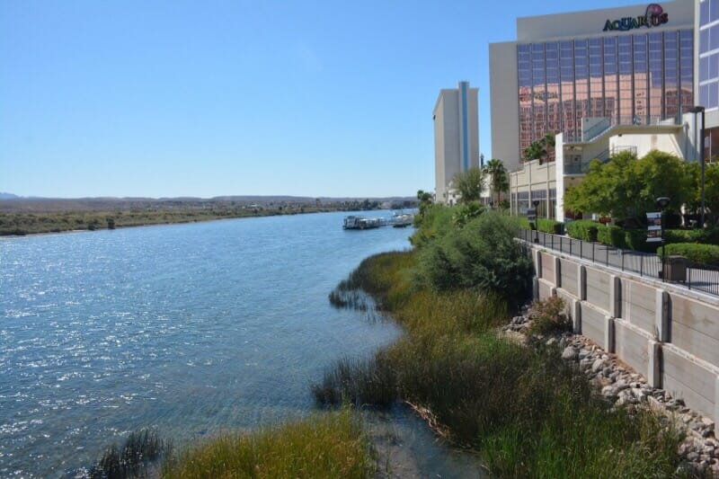
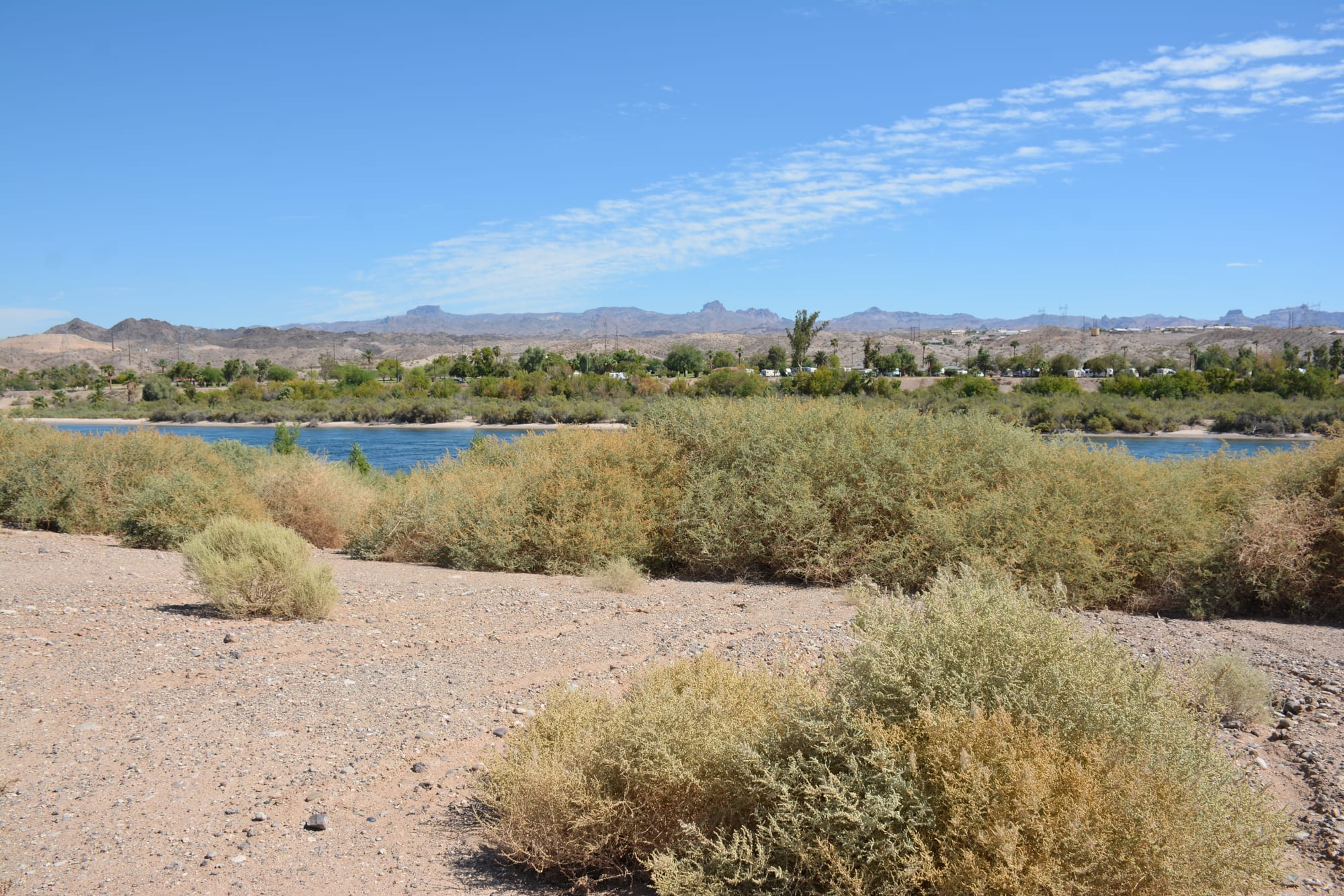
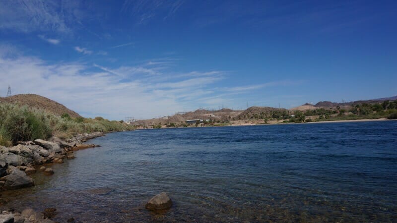
We walked it downriver to find breakfast, marveling at the clarity of the water. The current is swift, but there are jet ski, kayak, and SUP rentals. A jet boat goes downriver and water taxis zip across to Arizona. A larger riverboat offers tours. People and wildlife are on the water.
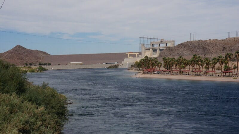
Coming to a dead end, we decided we'd change into hiking clothes and see if we could make it up to Davis Dam. It holds back Lake Mohave, the water source for the region. Sure enough, the Riverwalk - the part between the casinos - ended at the highway bridge.
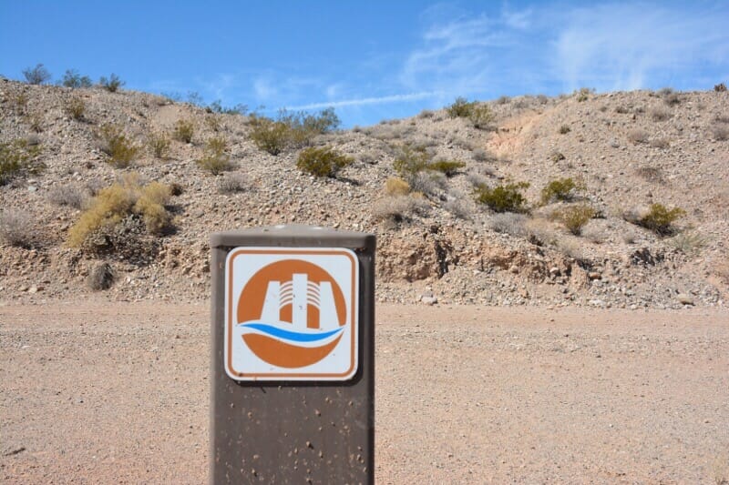
But with a crosswalk and a little scouting we found our way to the uniquely beautiful pedestrian bridge leading into the desert to the north. The North Reach, as it's called.
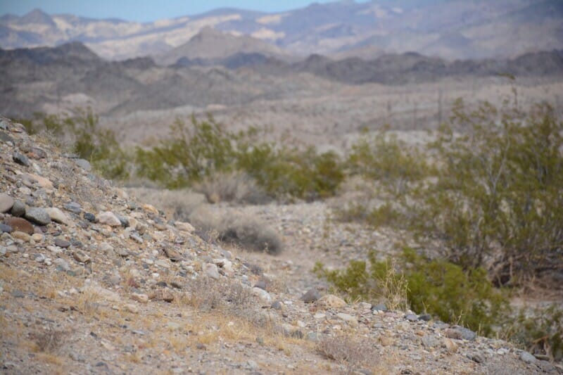
We expected a natural surface trail on the far side and were surprised to find it a broad bike path. Immediately John took a detour up a beaten path up a hill to be rewarded by a panorama of the river.
As we picked our way down well-worn paths I kept thinking of what our Mills Tours shuttle driver Michelle had said on the way here. "We don't hike this time of year. It's too hot, and the rattlesnakes and scorpions are out."
I saw something move and I didn't believe what I saw. John said, "it's a lizard!" But like no lizard I'd seen before. It ran upright on two legs, like a tiny dinosaur, and moved like a lightning bolt. Our lizards at home seem sluggish by comparison. Turns out it's a Western whiptail lizard, known for darting around on its hind legs.
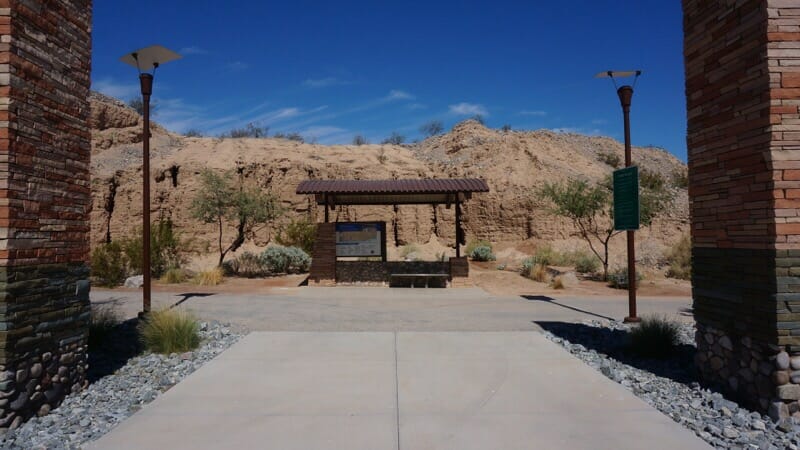
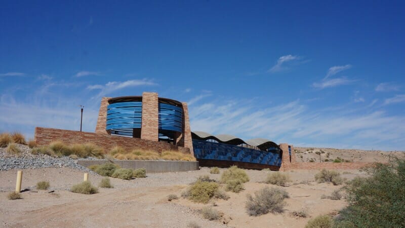
We picked our way down the hills, avoiding shadows and plants, and eventually found a trailhead where the camp host was not at home. But a map of the trail system clued us in. Called the Riverwalk Exploration Trail, it covered a larger area than we'd thought, and a round-trip to the dam would be another 4 miles on top of what it took to get here. More importantly, the map pointed out shaded spots - picnic pavilions - and water fountains.
Heat in the Southwest isn't like heat at home. There's almost no humidity, so you breathe more easily and don't sweat so much. But you're always thirsty. Staying above the river in bluffs, this was a beautiful trail. But the heat quickly took its toll. We found our way down to a picnic shelter and drank deeply. On a little walk to the river, we were serenaded by birds we couldn't see in the thick brush. It sounded like hundreds of them.
Back on the main path, we came to an interpretive area that talked about the original town here, a camp for workers on the dam, and a mine up above. We could see remnants of the old roads - one leading to a bridge no longer there - and structures in the hills and over the river.
It seemed like a good place to turn around. My weather app said it was 97 but it still didn't feel like it. But as we turned, we got blasted - sandblasted. The wind had picked up to 26 mph in our faces. It was a struggle to push against it, and we dehydrated quickly.
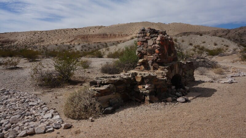
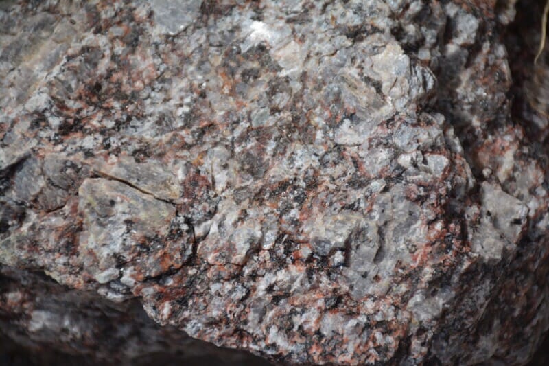
We walked a bit of the Horseshoe Trail to look at the ruin of an old home and sidewalks that indicated where a house once stood. On close inspection the hills were a crumbling pegmatite, rich in minerals. But signs forbid any collecting. Sparkling boulders of hematite lay near the trail too.
For the second time, I saw a different odd creature scurry between the brush. It was like a tortoise at high speed, with a rounded shell and four feet. It moved crazy fast and I couldn't figure out what it was. Too fast for the desert tortoise that roams these hills, but perhaps a Mohave ground squirrel? Hunched over, they look like a little tank. And John swears he saw a tail like a chipmunk. But it was as gray as any gopher tortoise I've seen.
When we saw the roadrunner, we were both running on empty. We'd stopped and rested and drank more water but the heat was too much. It was a welcome relief to find the pedestrian bridge again.
Leaving the desert for the casino zone, we settled into the air-conditioned comfort of a Mexican restaurant and I checked the temperature again. It was 100 degrees! A good time to knock off outdoor activity and think about cooling down.


Member discussion